


New Year is a time of hopeful high spirits. Climb the slopes along Toei Transportation lines!
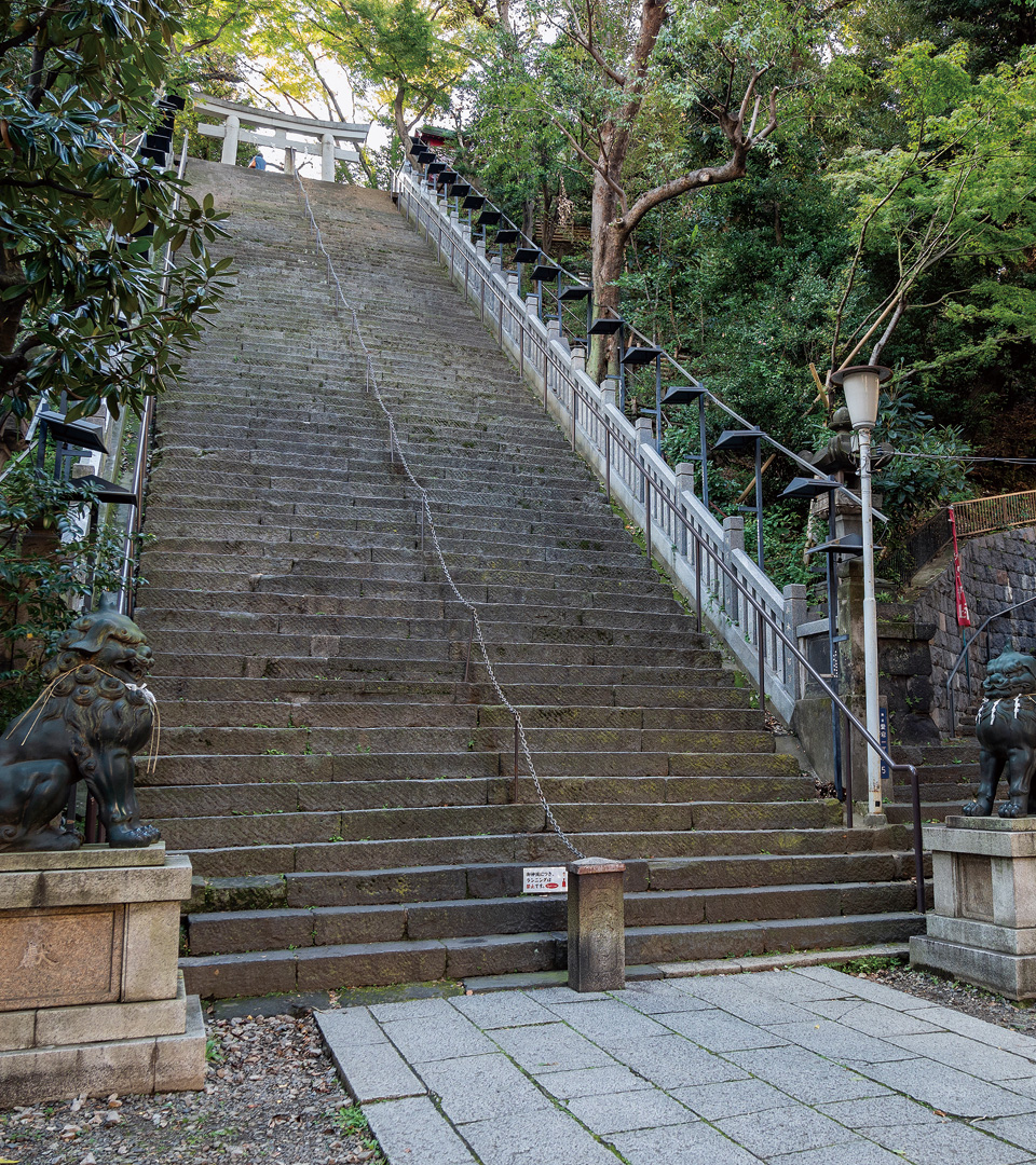
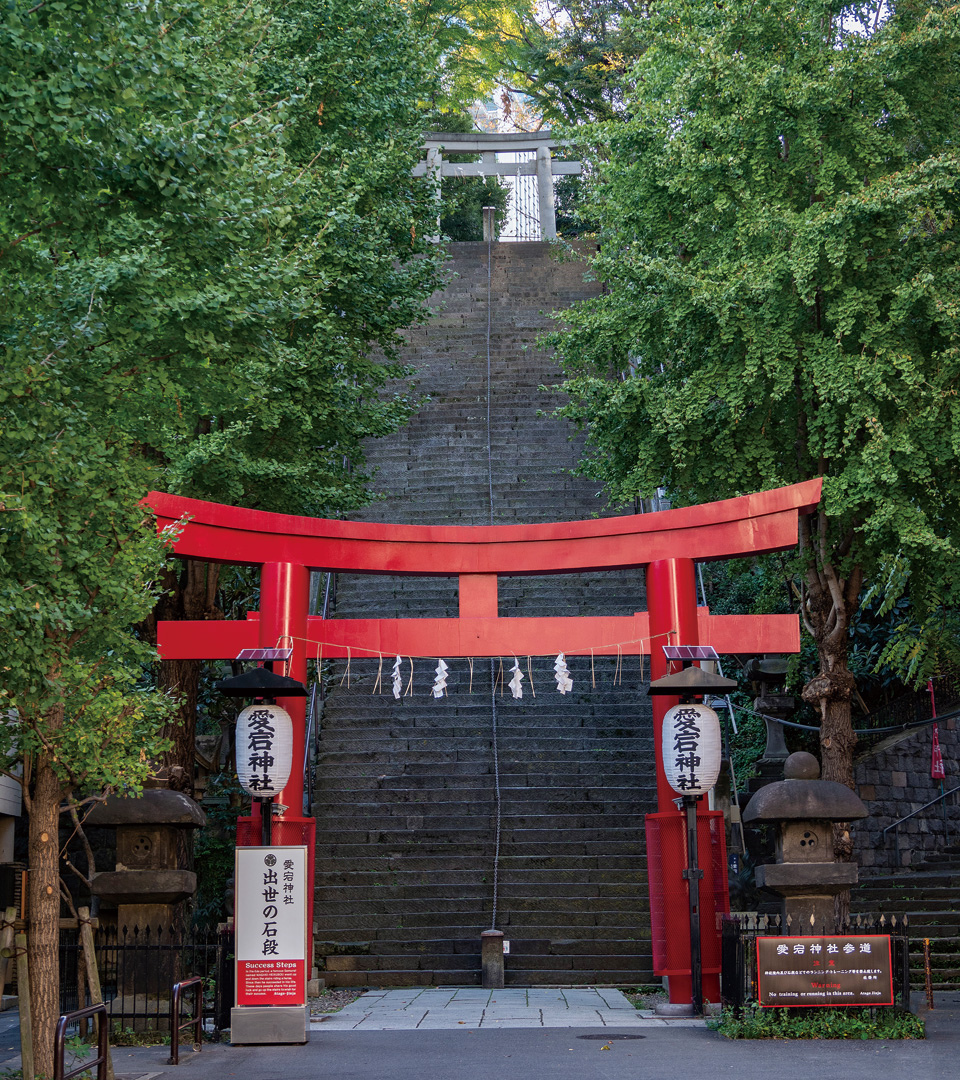
Magaki Heikuro, a vassal of Iemitsu, the third Tokugawa shogun, obeyed his lord's command to ride horseback up the Otoko-zaka stone steps and bring him some plum blossom branches from atop Mount Atago. Heikuro became famous nationwide for his horsemanship. Atago Shrine sits at the top of Otoko-zaka.
| Access |
I-06 8-min.walk from Onarimon Station on the Toei Mita Line. |
| Location | 1-5 Atago, Minato Ward |
| Inquiries | Atago Shrine 03-3431-0327 |
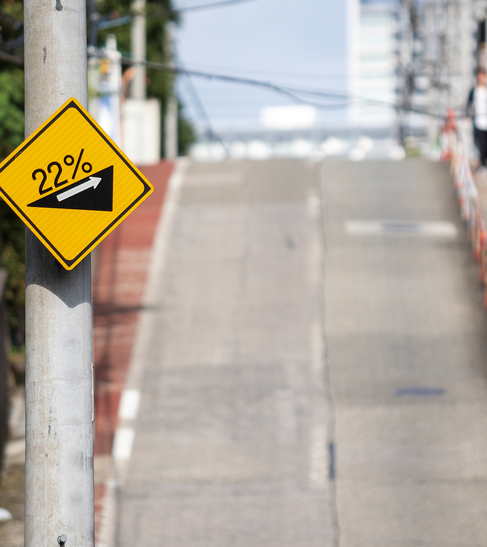
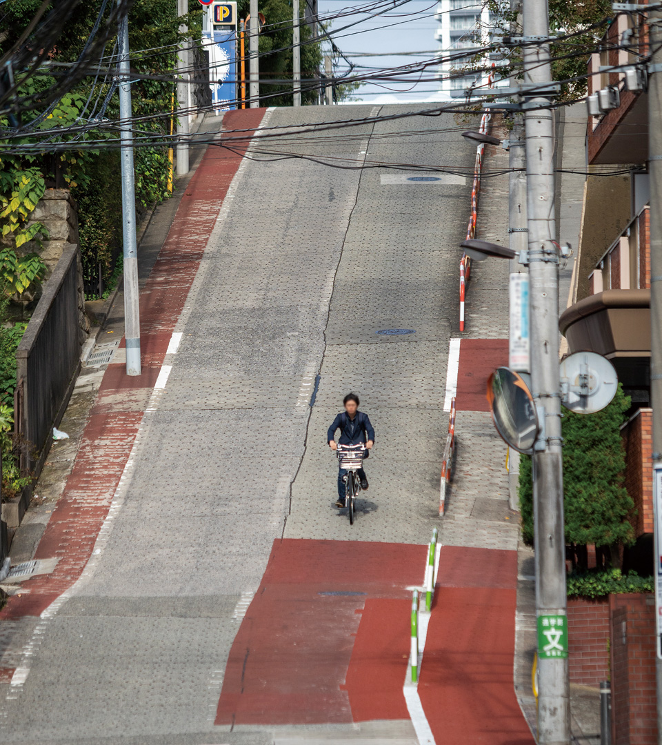
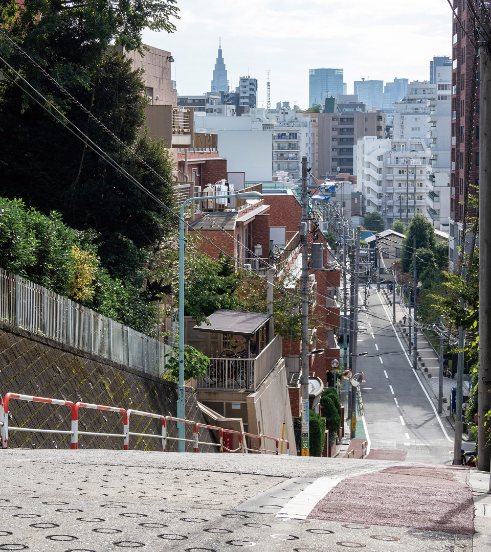
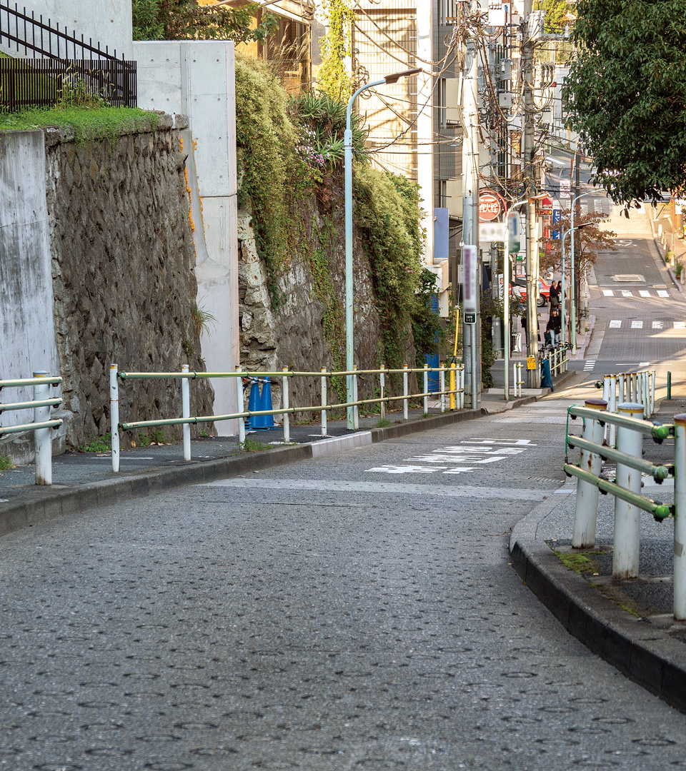
Nozoki-zaka is one of the steepest slopes in Tokyo. It is so called because its steepness makes it hard to see all the way ("nozoku") to the bottom from the top. With a maximum gradient of 22% (i.e., an elevation of 22 meters over a horizontal distance of 100 meters), it looks almost like a wall from the bottom.
| Access |
SA-28 2-min.walk from Gakushuinshita Station on the Tokyo Sakura Tram(Toden Arakawa Line). |
| Location | In the vicinity of 2-17 Takada, Toshima Ward |
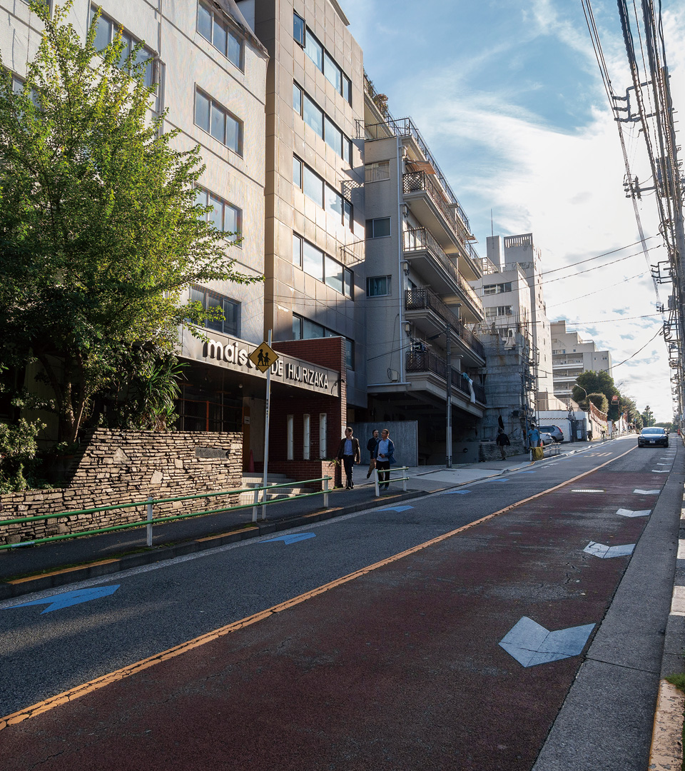
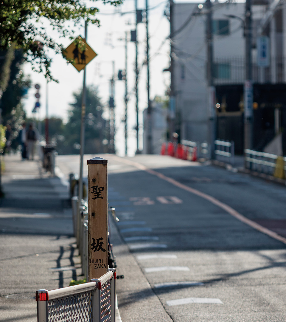
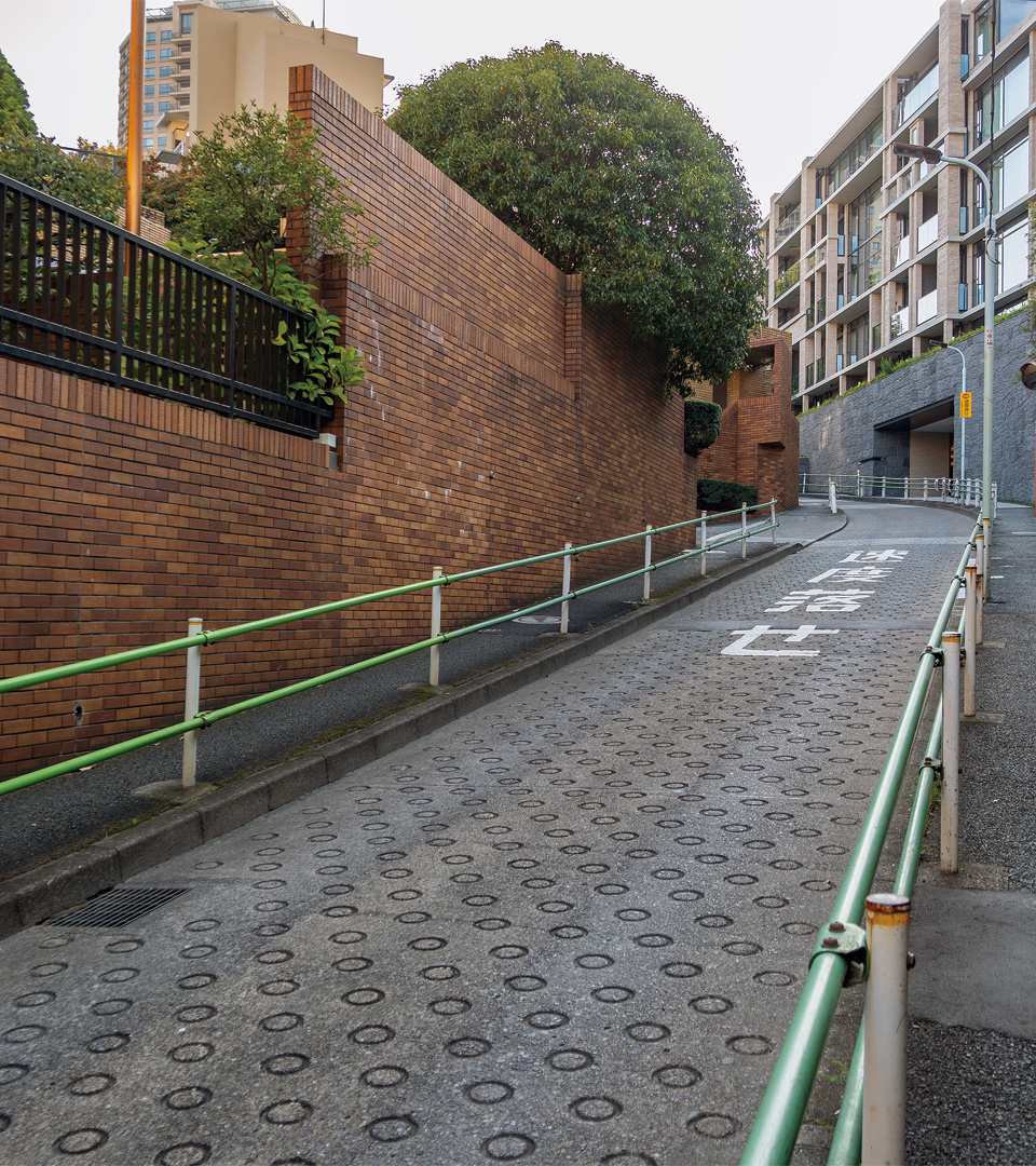
This slope was a key point on the heavily traveled post road linking eastern and western Japan from ancient times. The name reportedly derives from the monks of Mt. Koya (Koya Hijiri), also merchants, who cleared the slope and built a station there.
| Access |
A-08 10-min.walk from Mita Station on the Toei Asakusa Line. I-04 10-min.walk from Mita Station on the Toei Mita Line.
|
| Location | In the vicinity of 4-15 Mita, Minato Ward |
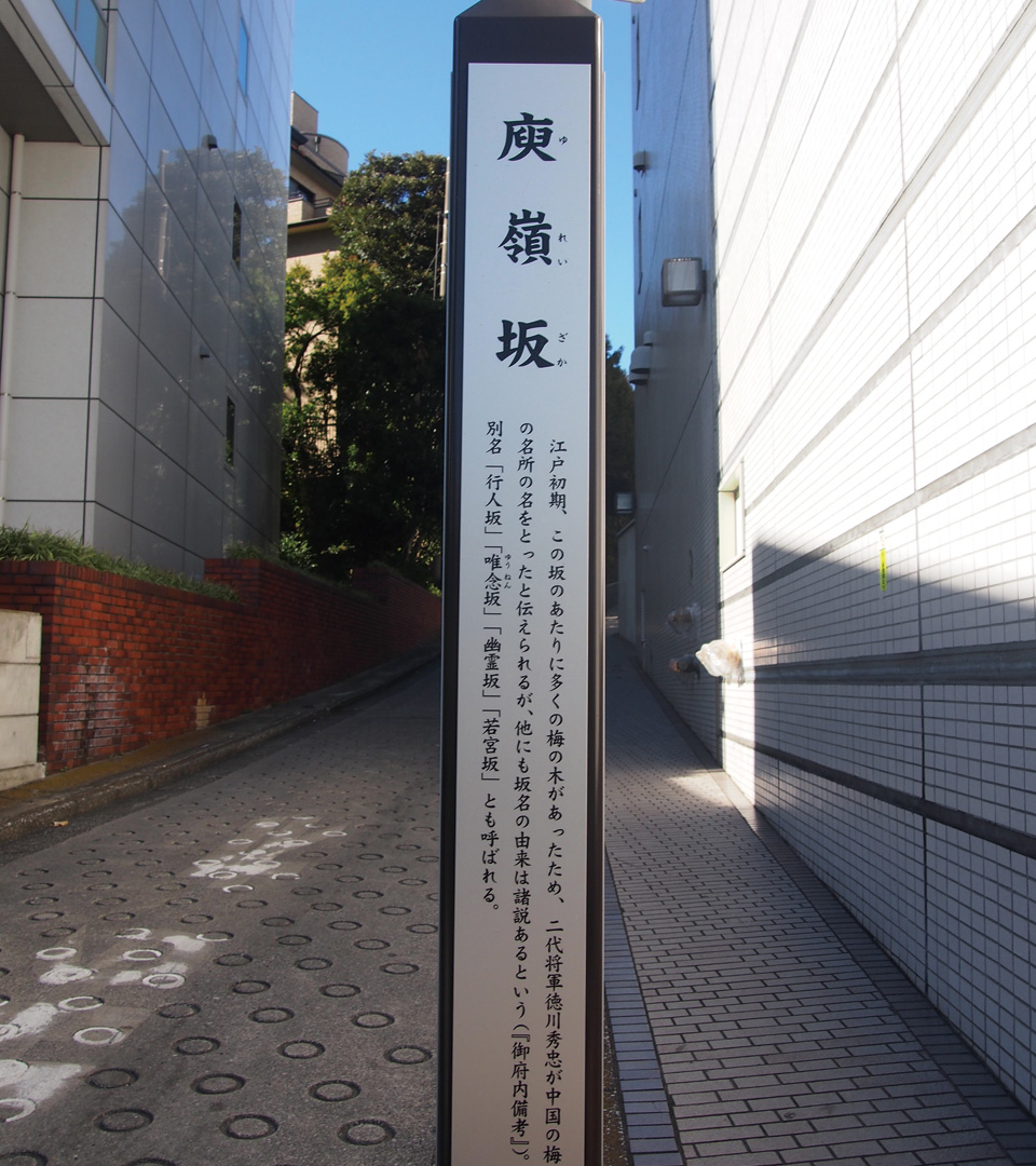
The name is from when Hidetada, the 2nd Tokugawa shogun, visited the slope to admire the plum grove covering the area, saying it looked just like the famous plum trees of Yurei (in Jiangxi Province, China). Also known as Kojin-zaka (Travelers' Slope), Yurei-zaka (Ghost Slope), and Wakamiya-zaka (Boy Prince Slope).
| Access |
E-06 9-min.walk from Iidabashi Station on the Toei Oedo Line.S-04 14-min.walk from Ichigaya Station on the Toei Shinjuku Line. |
| Location | Between 1-1 Kagura-zaka, and 11 Ichigaya-Funagawaramachi, Shinjuku Ward |
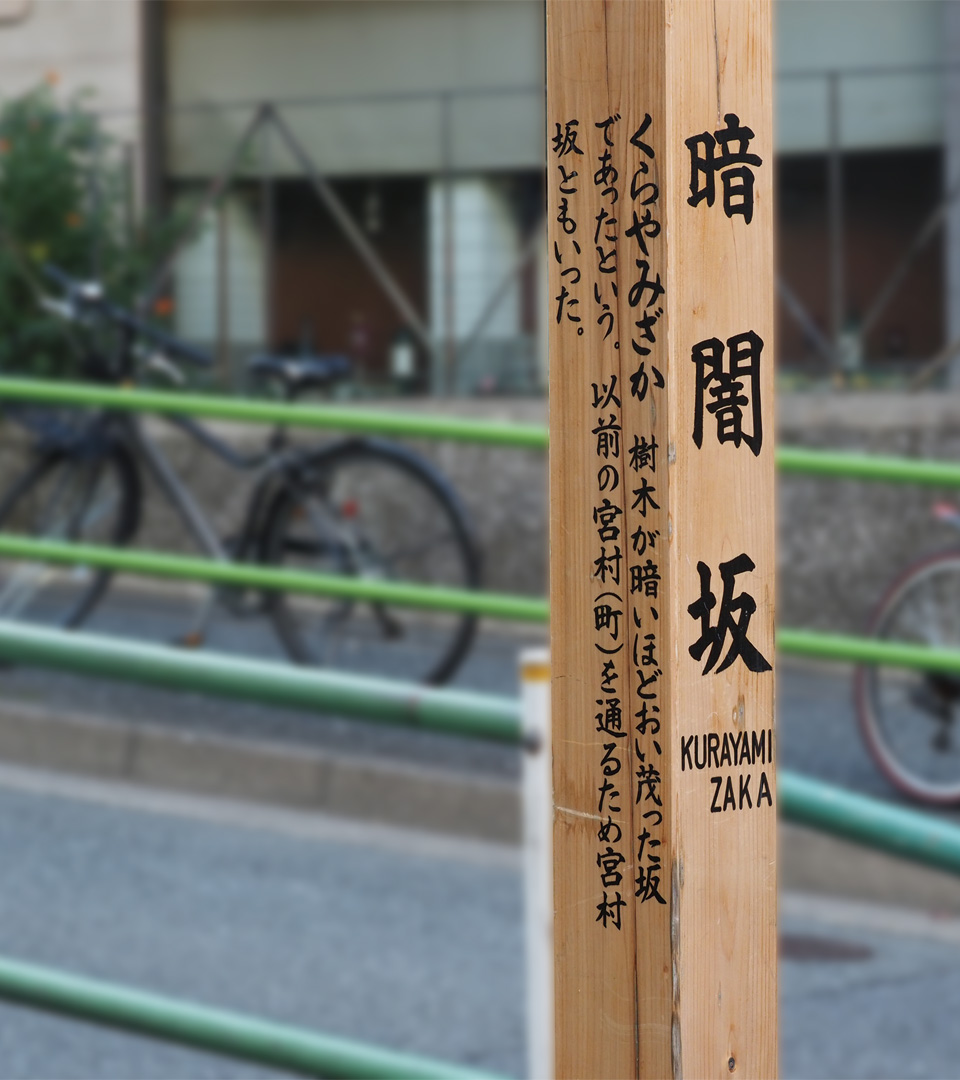
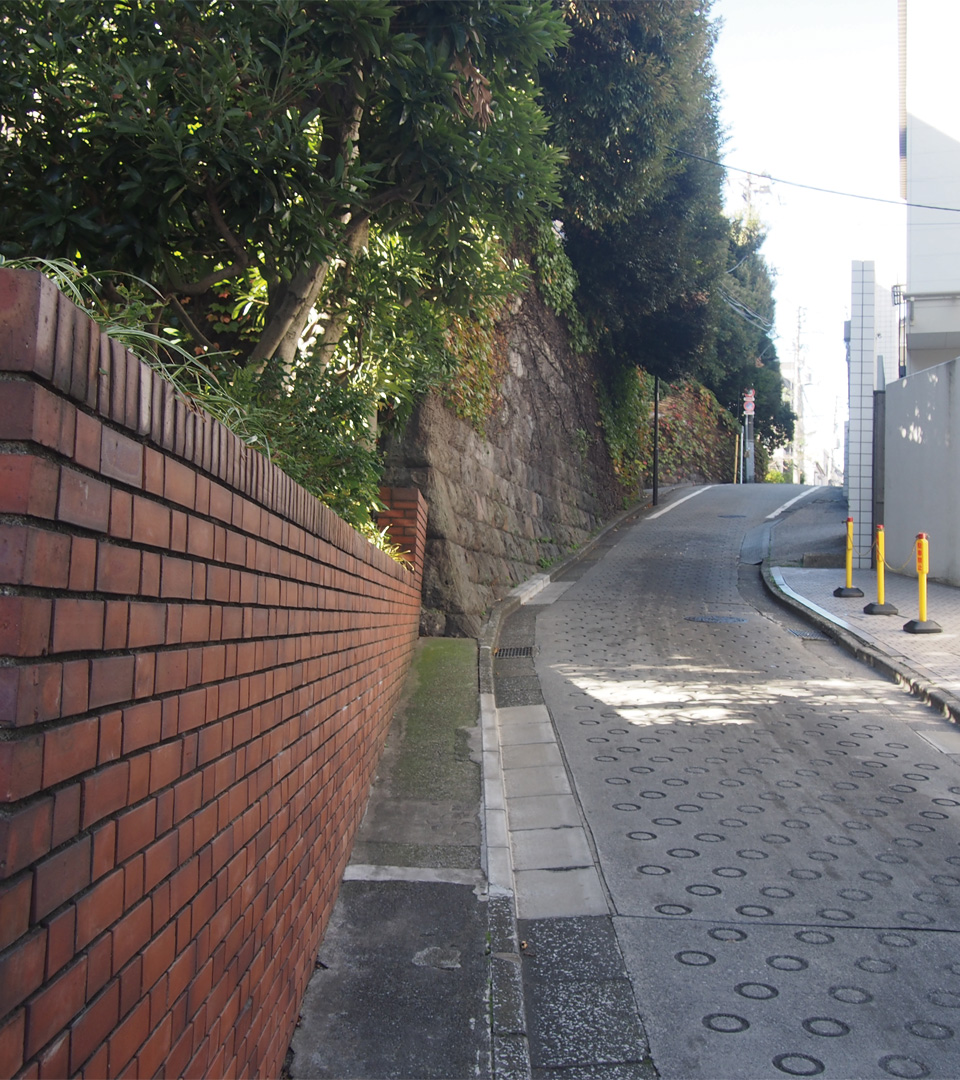
This slope was so named because it was once covered with trees that kept the light dim ("kurayami" means "darkness") even during the day. The path to the top is 110 meters long and curves greatly to the left when viewed from the bottom. A lone pine tree stands at the top.
| Access |
E-22 7-min.walk from Azabu-juban Station on the Toei Oedo Line. |
| Location | In the vicinity of 2 Azabu-Juban, Minato Ward |
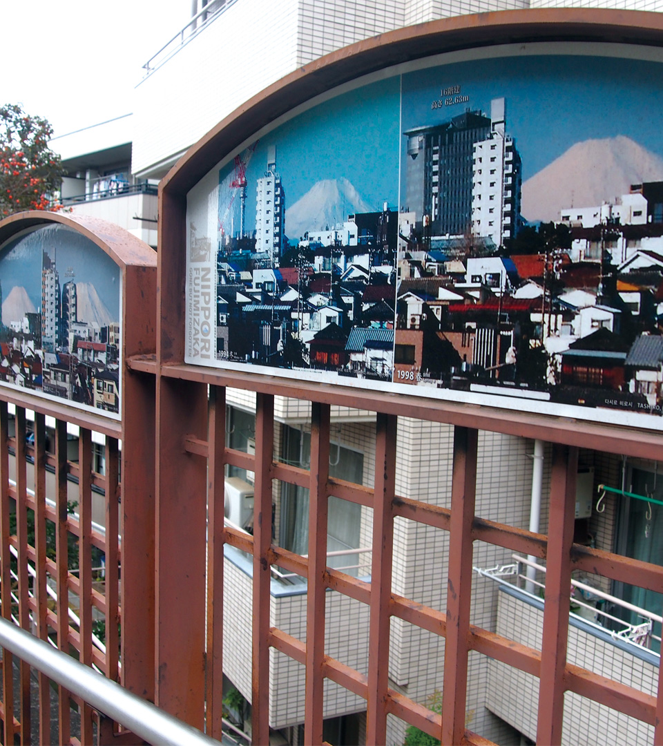
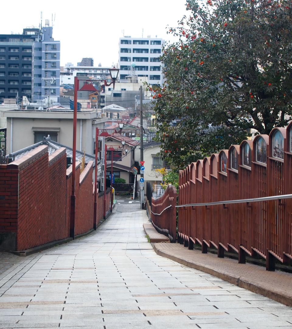
The name of this slope comes from the fact that one could see ("mi") Mount Fuji from the top. Today, the view of Mount Fuji is blocked by buildings, but panels along the slope show pictures of Mount Fuji throughout the ages.
| Access |
NT-02 8-min.walk from Nishi-nippori Station on the Nippori-toneri Liner. |
| Location | 3 Nishi-Nippori, Arakawa Ward |